

Experts say price gap unjustifiable
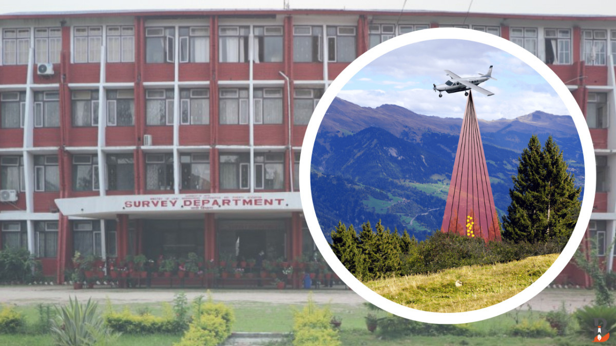
Kathmandu – The Department of Survey has been accused of possible irregularities in the consultant selection for the 'High-Resolution DEM and Orthophoto through Airborne LiDAR Survey' project.
Six years ago, the same consultant did similar work for Rs 29,676 per square kilometre. Now, the cost has jumped to Rs 55,073 – a rise of Rs 25,397 per unit.
This big difference has raised concerns about possible financial wrongdoing, and a complaint has been filed with the Commission for the Investigation of Abuse of Authority (CIAA).The project was publicly tendered on Baisakh 10, 2082, but the selection and evaluation process appears irregular.
It was issued under Clause 30(1) of the Public Procurement Act 2063 and Clause 70(2) of the Public Procurement Regulation 2064, using the Quality and Cost Based Selection (QCBS) method through international competitive bidding.Out of 12 proposals, four firms were shortlisted on Jestha 5, 2082.
However, concerns were raised about the qualifications and expertise of the selected firm.The contract was awarded on Asar 27, 2082 to SEED-ERMC JV, which had submitted the highest financial bid, bypassing firms with lower and more competitive offers.
SEED-ERMC JV proposed Rs 220.2 million, while Rajdevi-Geokno JV proposed Rs 193.5 million, Garuda-GEOCE JV Rs 163.9 million, and ATGT-SILT Consultants JV—the lowest—proposed Rs 139.4 million.
The technical scores showed large gaps: SEED-ERMC JV received 96.79 points, Rajdevi-Geokno JV 86.39, ATGT-SILT JV 72.50, and Garuda-GEOCE JV 70.13. Competing firms claim the scoring was unfair, as all teams had qualified technical staff, solid work plans, and international partners. They also pointed out that the selected firm lacked prior experience in similar LiDAR projects.
An expert in LiDAR surveying commented, 'There shouldn't be such a massive price difference for the same type of work. The previous project didn’t show this kind of variation. The 80 to 90 million difference doesn’t seem natural.'
Accusations of bias also emerged in the evaluation of team leaders and subject experts.
The lowest bidder, ATGT-SILT JV, had completed similar projects with the Survey Department and fulfilled all technical qualifications, yet their documentation was allegedly undervalued or ignored. According to TOR (Terms of Reference), their proposed team leaders had stronger credentials.There were also claims of irregular scoring in methodology assessment.
All firms submitted detailed plans, schedules, and team structures, yet only SEED-ERMC JV received disproportionately high marks, without clear justification.The cost structure further raised concerns. A previous LiDAR project over 20,000 sq. km by Aviation-PENAS-Geomatics-SEED was completed at Rs 29,676 per sq. km with international experts.
The current bid proposes Rs 55,000+ per sq. km despite relying on domestic experts, which should have made the cost lower.There are also suspicions of document tampering. Some firms claimed their submitted experience certificates and documents were either not properly reviewed or possibly manipulated. 'If our documents were fairly evaluated, we would’ve stood a chance. But the whole process seems pre-arranged,' said a firm head.
That firm's head also alleged that the scoring format seemed pre-determined saying 'Labeling all other competitors as subpar and assigning them below 50 percent while awarding the top marks to SEED-ERMC JV despite their costly bid clearly indicates collusion.'The total budget for the consultancy service under open bidding was Rs 230 million. Despite using an 80:20 technical-financial ratio, the financial scores were allegedly ignored in violation of procurement laws, thereby favouring the highest bidder.
While both technical and financial criteria were supposed to be applied, the Department has been accused of not adhering to the Public Procurement Regulation 2064 during evaluation. With alleged irregularities in both document evaluation and score calculation, a formal complaint has been lodged with the CIAA.
'We’re not saying someone should or shouldn’t get the contract, but the evaluation must be fair,' said another firm representative. 'From the way our documents were treated, it feels like tampering occurred. If not, why weren't we scored based on our submissions?'However, Department spokesperson Tank Prasad Dahal denied any irregularities.'There’s been no such unnatural conduct. If there was, the investigative authorities will look into it.'
How Is the Mapping Done?
The 'Generation of High-Resolution DEM and Orthophoto through Airborne LiDAR Survey' project uses LiDAR technology to generate 3D terrain models and orthophotos – high-resolution aerial imagery corrected for terrain distortions.
Previously, the Department conducted similar mapping over 20,000 sq. km from Mahakali to Narayani. This new phase covers about 4,000 sq. km from Narayani to Bara-Parsa in the east.
Since 2019, the Department has used LiDAR for national surveys. The technology had earlier been applied to projects like the Manakamana Cable Car, Bheri-Babai Diversion, and Budhigandaki Hydropower.
LiDAR works by emitting laser pulses from an aircraft to measure ground elevation, terrain texture, and object positions, producing 3D maps. Orthophotos resemble aerial photographs but are geometrically corrected for scale and angle, allowing for precise mapping compatible with GIS systems.
This digital model helps in accurate planning for infrastructure, flood and earthquake risk assessments, urban planning, and forest management by stripping away features like trees and buildings to show true terrain.
© 2026 All right reserved to biznessnews.com | Site By : Sobij
© 2026 All right reserved to biznessnews.com | Site By : Sobij